Looking back to Daventry's planned growth


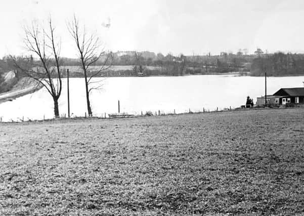
This image was taken from where the Middlemore estate now stands, looking over the boathouse and reservoir back towards the town centre.
Ashby Road can just be seen to the left of the image.
The photo was taken back in the late 1970s when Daventry District Council announced it would plan for the town to expand to the north, with Ashby Fields, then Lang Farm and Middlemore as the new estates.
Advertisement
Hide AdAdvertisement
Hide AdAlthough the plan was laid out in the 1970s, the majority of the land wasn’t opened up for development until the ring road by the country park was built in the 1990s, and work is still taking place on Middlemore.
Other than the boathouse and one other home, there are no buildings visible in this photo. If you stood at this spot now, assuming there’s not a wall in front of you, you could see hundreds.