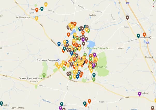
Crime mapping: See the incidents reported across Daventry district


The Daventry Express has processed official information released to create an interactive map of all crimes and antisocial behaviour reported to Northamptonshire Police in our area in one month.
The data for this map comes from data released by Northamptonshire Police through the national police open data programme and covers November 2016 – the most recently available statistics.
Advertisement
Hide AdAdvertisement
Hide AdBy clicking on the link you can get an overview of the incidents reported across Daventry district and South Northamptonshire. Each data point is coloured to reflect the category it was placed in by the police, and contains information regarding the investigation.
There are no specific details for each incident, and the location given is approximate covering a street or area rather than specific addresses.