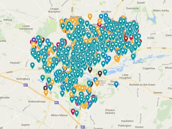
Crime Maps: See the incidents reported on your street in Northampton


We took official data from Northamptonshire Police covering January 2017 to produce maps showing the location and types of crimes reported.
Unfortunately, there were too many incidents on the log to fit them all onto one map.
Advertisement
Hide AdAdvertisement
Hide AdViolent crime, burglary, sexual offences, drug offences, possession of weapons, and other crimes can be found on this map.
Antisocial behaviour, public order incidents, and crimes classed by police as 'other' can be found on this map.
The maps also allow you to click on individual incidents and see the current stage of their investigation with police.